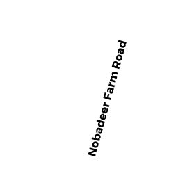
16 NOBADEER FARM RD
Owner Information
WASHED ASHORE LLC
2 S WATER ST
NANTUCKET, MA 02554


Property Details
16 NOBADEER FARM RD is classified as a Other, Open Space (Condominium).
The primary structure on this property was built in 2006. There are 2,254ft2 of built area within this property. There is 1,440ft2 of residential/living space within this property. There are 3 units within this property.
16 NOBADEER FARM RD is valued at $0. The land is valued at $0 and the structures are valued at $0.
This property is in Zone RC2. Confirm with local Zoning Board authorities to ensure there are no overlays or other easements on this property.
The most recent deed for 16 NOBADEER FARM RD is recorded at the local registrar in Book C0021938, Page 0. 16 NOBADEER FARM RD was last sold on Thursday, September 22, 2005 for $1,150,000.
Assessment data from fiscal year 2022.
Flood Data
According to the FEMA National Flood Hazard Layer, this property does not appear to be in a flood zone. It may also be in an area not yet reviewed. Nonetheless, confirm this information prior to taking any action.
To view the flood hazards around this property, create a FEMA "Firmette" Map of the area around 16 NOBADEER FARM RD.
Broadband Internet Providers
| Provider | Type | Bandwidth (mbps) | |
|---|---|---|---|
| Verizon New England Inc. | DSL | 10 | 1 |
| HughesNet | Satellite | 25 | 3 |
| GCI Communication Corp. | Satellite | 0 | 0 |
| T-Mobile | Fixed Wireless | 25 | 3 |
| Comcast | Cable | 1000 | 35 |
| Viasat Inc | Satellite | 35 | 3 |
| Crown Castle Fiber | Fiber | 0 | 0 |
| VSAT Systems, LLC. | Satellite | 2 | 1 |
Broadband service provider data from December 2020.
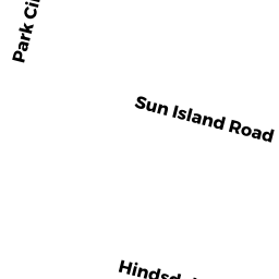
Adjacent Properties
- 3A SUN ISLAND RD
Other, Open Space owned by TRUDEL JOHN F III TRST - SUN ISLAND RD
Other, Open Space owned by TRUDELL JOHN F III TRST - 3 D SUN ISLAND RD #1
Residential Condominium owned by JONES SANDRA A - 3C SUN ISLAND RD #2
Residential Condominium owned by STRATMAN JEREMIAH & LAURA - 3 A SUN ISLAND RD #4
Residential Condominium owned by GILCH ANNE M - 3 B SUN ISLAND RD #3
Residential Condominium owned by FERRETTI GIOVANNI AND LAURA - 3 SUN ISLAND RD
Multiple Houses on one parcel owned by WASHED ASHORE LLC - 14 NOBADEER FARM RD
Commercial Warehouse M94 owned by YELVERTON EOIN & ADELE GEANEY - 18 NOBADEER FARM RD
Single Family Residential owned by SYLVIA BONNIE A & DAVID A ETAL